


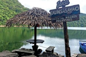

Dauin beach,And Apo Island
Origin of the Name
There are three versions, the first two being interrelated; first, there was a majestic tree that towered over all trees that the Spaniards asked for its name, which was Calawin Second, the natives believed that the Calawin was the home of the supernatural beings, called “Dawinde”, who gave help to those in need but could be seen only in such situations.The third, natives used to cultivate the lands into banana plantations. The bananas were sold not by bunch or by fingers but by hands, which were locally called “Lawing”.
Apo Reef is roughly a triangular coral atoll formation approximately 26 kilometres (16 mi) from the north to the south tip, and 20 kilometres (12 mi) from east to west. It is separated by two lagoon systems, the north and south lagoons which are bounded by narrow reef platforms. It is a 34 square kilometres (13 sq mi) almost triangular northern and southern atoll-like reefs separated by a deep channel that is open to the west. The channel runs east to west from 1.8 to 30 metres (5 ft 11 in to 98 ft 5 in) deep with a fine white sand bottom, numerous mounds and patches of branching corals under the deep blue water
Contemporary Times
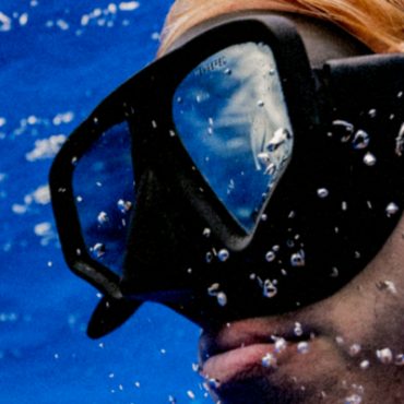
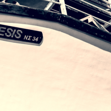
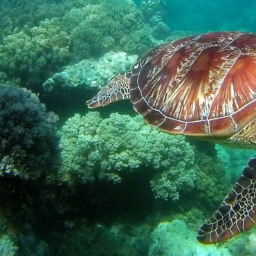
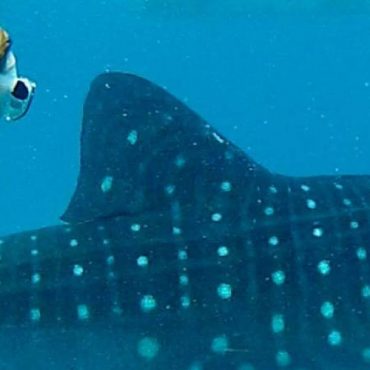
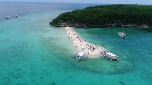
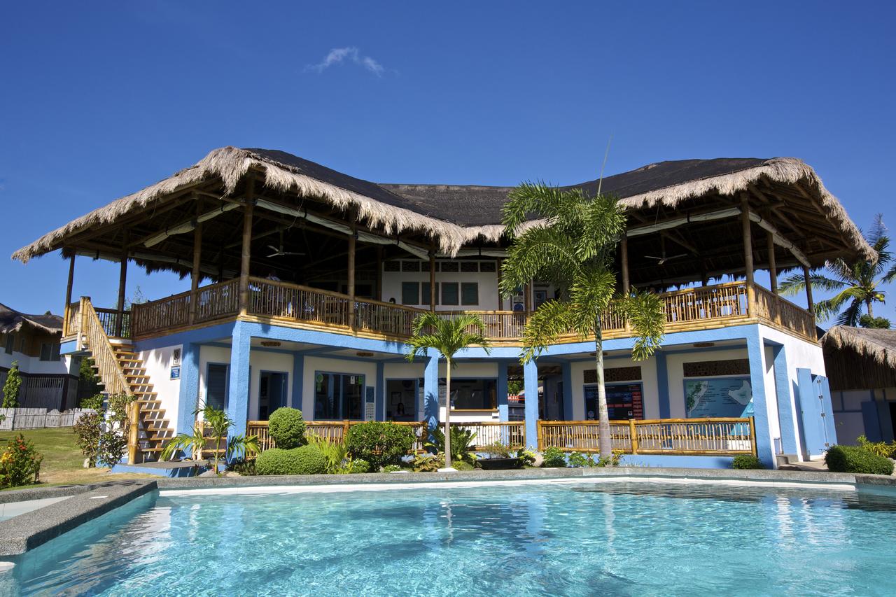
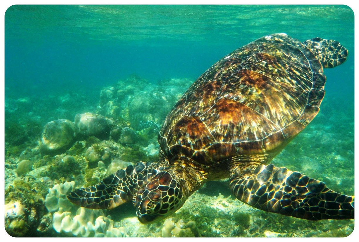
Scuba diving is a principle industry in Dauin. Several marine reserves and dive sites are situated along the coast. Apo Island, which is included in the territory of Dauin, is a 72-hectare volcanic outcrop several kilometers off the coast that attracts large numbers of scuba and snorkel enthusiasts.
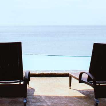
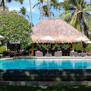
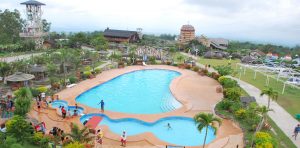
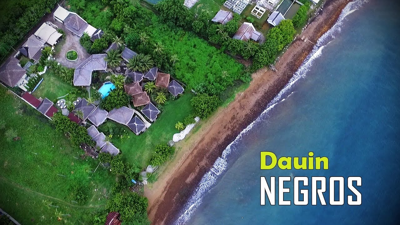
Some of the provinces’s most popular resorts are situated along Dauin’s beaches. Most are focused on diving with regular excursions to Dauin’s marine reserves and Apo Island.
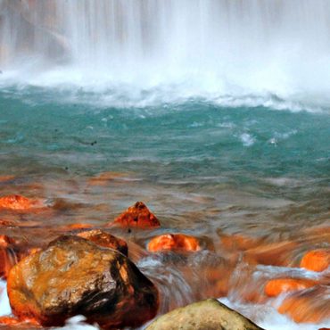
Mt Talinis Geothermal Reserve is also included within the territory of Dauin. This reserve includes Mag-Aso and the Malungcay Hot Springs.
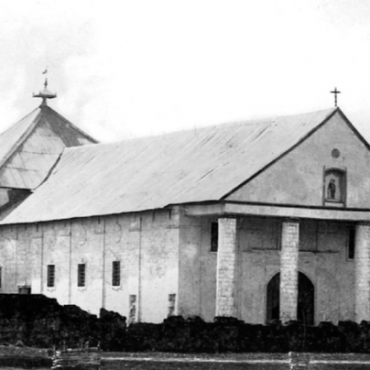
Dauin’s San Nicolas church is the oldest in the province. In front of the church and along the beach are the ruins of two dome-shaped watchtowers said to have been used to warn against pirates.
There are three versions, the first two being interrelated; first, there was a majestic tree that towered over all trees that the Spaniards asked for its name, which was Calawin. Second, the natives believed that the Calawin was the home of the supernatural beings, called “Dawinde”, who gave help to those in need but could be seen only in such situations.The third, natives used to cultivate the lands into banana plantations. The bananas were sold not by bunch or by fingers but by hands, which were locally called “Lawing”.

Dauin, officially the Municipality of Dauin, (Cebuano: Lungsod sa Dauin; Filipino: Bayan ng Dauin)is a 4th class municipality in the province of Negros Oriental, Philippines. According to the 2015 census, it has a population of 27,786 people.
It is bordered on the north by Bacong and Valencia, on the south by Zamboanguita, and on the west a mountain range separates it from Santa Catalina. The municipality is a coastal town, the Bohol Sea forming its eastern border.
Barangays
- apo island
- Anhawan
- Bagacay
- Baslay
- Batuhon Dacu
- Boloc-boloc
- Bulak
- Bunga
- Casile
- Libjo
- Lipayo
- Maayongtubig
- Mag-aso
- Magsaysay
- Malongcay Dacu
- Masaplod Norte
- Masaplod Sur
- Panubtuban
- Poblacion I
- Poblacion II
- Poblacion III
- Tugawe
- Tunga-tunga
Is this your business?
Claiming your listing is the best way to manage and protect your business.


